 Slovenski INSPIRE metapodatkovni sistem
Keyword
aerial survey, orthophoto, imagery/base maps/land cover
1 record(s)
Type of resources
Categories
INSPIRE themes
Keywords
Contact for the resource
Resolution
From
1
-
1
/
1
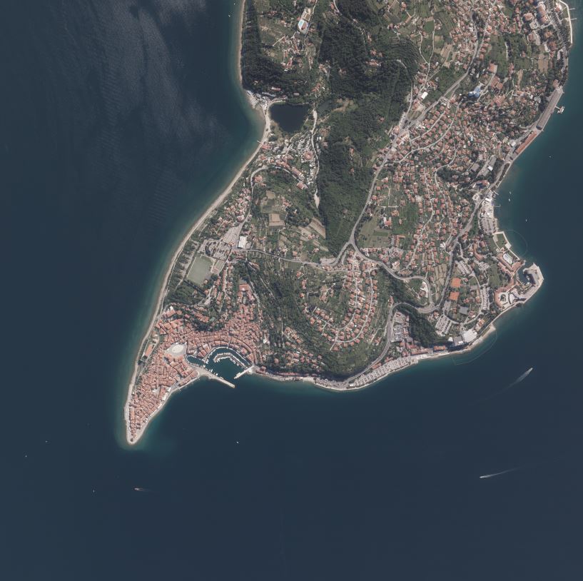
-
Product of aerial survey (from airplane, helicopter) are aerial images as well as external orientation elements, that are used as final product or as an input parameter for further image processing. In the cyclical aerial survey of Slovenia professional (recently digital, large format) aerial cameras are used. These cameras use simultaneous surveying of aerial photos in several channels (panchromatic, red, green, blue, near infrared). Usuall ground sampling distance (GSD) is 0.25 m.